Sunday 26 / July / 2026
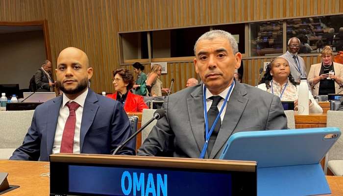
New York: The Sultanate of Oman participated in the 15th session of the United Nations Committee of Experts on Global Geospatial Information Management (UN-GGIM), held at the UN headquarters in New York, USA.
The Omani delegation was headed by the Acting Chairman of the National Survey and Geospatial Information Authority at the Ministry of Defence.
The meeting addressed several topics related to geospatial information management, including enhancing governance frameworks, the contributions of regional committees to the global geospatial information agenda, and the role of thematic networks in advancing geospatial data initiatives. Discussions also covered the future of geospatial information ecosystems.
Key agenda items included the United Nations Integrated Geospatial Information Framework (IGIF), the Global Geodetic Reference Frame (GGRF), and the use of geospatial data for sustainable development, climate action, and environmental applications. The session further examined legal and policy frameworks, reference data management, emerging technologies, and the implementation and adoption of global geospatial standards.
Additionally, participants reviewed the role of UN Global Geospatial Information Management Centers (operating outside headquarters) in strengthening global geospatial data governance arrangements.
The session was organized in accordance with relevant resolutions of the UN General Assembly and the Economic and Social Council to facilitate deliberations on the proposed agenda.