Saturday 02 / May / 2026
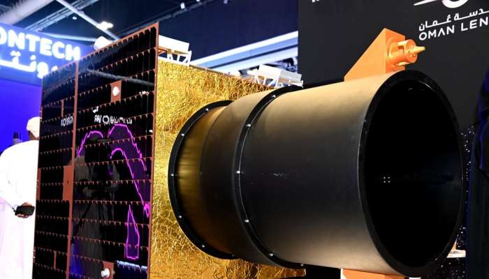
Muscat: Represented by Oman Lens company, the Sultanate of Oman announced that it will launch an efficient Omani satellite during the first half of next year (2026).
The satellite will be equipped with top capacity resolution imaging technology at a resolution of 50 cm panchromatic and multi-spectral imaging capabilities (RGB and NIR), in addition to an onboard artificial intelligence platform that will have a computing capacity exceeding 400 trillion operations per second.
The satellite will perform high-resolution Earth observation and remote sensing operations. Its uses also include the prediction and location of floods, street planning in cities and the reporting of vegetations, both beneficial and harmful.
The announcement was made during the signing ceremony of cooperation agreements inked by Oman Lens company with a number of parties, including Oman Chromite Company (OCC), Phoenix Space and Technology Company and other agents authorised to resell the company's products and services, like Mustafa Sultan Enterprises, GIS HUB and Bedrock Mineral Resources Consulting Company (BMRC).
The signing of the agreements was in pursuance of efforts made by Oman Lens company to reshape the future of Earth observation by integrating artificial intelligence technologies with high-resolution satellite imaging, following the company’s successful launch of OL1 one-metre capacity satellite.
In line with Oman Vision 2040, which focuses on innovation, sustainability, and technological advancement, Lens Oman aims to lead the nation's progress in space technologies by providing advanced satellite imagery, remote sensing services, and Earth observation solutions.
This will help address global challenges such as flooding and environmental issues, while strengthening Oman's position as a regional power in the field of space and AI-enhanced solutions.
To confirm its commitment to contributing to national progress and within the framework of the Rideshare programme announced during COMEX last year, Oman Lens, in cooperation with Star Vision Space and the Bahrain Space Agency, has achieved tangible progress, represented by the development of an algorithm for computer processing on board satellites, including cloud segmentation, to enable satellites to distinguish between clouds and the Earth’s surface.
This achievement contributes to improving the accuracy of ground observation, supporting efforts to monitor environmental changes, manage natural resources, and plan urban development.
This development represents a significant success for the Rideshare programme and embodies its role in promoting innovation and contributing to achieving sustainable development across the Middle East and North Africa region.
Ali bin Nasser Al Wahaibi, Marketing and Sales Director at Lens Oman, said that the launch of the sensing satellite during the first half of next year represents a historic moment in the Sultanate of Oman's journey into space, strengthening its position as a pioneer in space technology regionally and internationally.
He added that this process confirms the company's commitment to investing in and empowering national competencies, developing artificial intelligence and remote sensing solutions to serve society, the environment, and the economy, and consolidating the Sultanate of Oman's position on the global space innovation map.